River Sediment Transport

Sediments are a natural part of river ecosystems. Their presence is necessary, as many organisms depend on them for spawning, habitat, or capturing prey. However, too much sediment from natural and manmade sources can adversely affect ecosystem health. Sediment transport studies can be used to establish baseline sediment concentrations and monitor for acute and long-term changes.
Sediment in Rivers

Typical River Sediment Transport Monitoring System
Given that the objective of river sediment transport studies is to observe the dynamics of sediments, a typical monitoring system includes measurement stations at several points along the river. Monitoring is frequently split into two categories: suspended sediments and bedload transport. Suspended sediments are fine particles that are distributed throughout the water column and flow with the river, while bedload transport refers to coarser particles that roll or slide along the riverbed.
For suspended sediments, particles are detected using an optical turbidity sensor or a sensor such as the Sequoia Scientific LISST-ABS acoustic sediment sensor. The acoustic sensor option provides some advantages in that it can directly report suspended sediment concentration (SSC) in mg/L and performs well across a wide range of grain sizes with factory calibration, particularly those larger than 32 microns. With either sensor type, measurement accuracy can be improved with user calibration based on supporting laboratory analysis of water samples.
Sensors interface with the X3 environmental data logger, which has robust, waterproof connectors for reliable performance in harsh conditions. For advanced protection at sites with risk of flooding, the X3-SUB submersible data logger may be used. Both logger types offer wireless telemetry options for remote, real-time data collection. Data is published to the WQData LIVE web datacenter, where it can be viewed, manipulated and exported. Other available features include alarms, reports, automated FTP and data API.
Combining direct sediment measurements with a suite of hydrographic stream/river gauging measurements can produce a comprehensive dataset. To achieve this, the X3 platform also supports water level sensors, rain gauges, acoustic Doppler current profilers (ADCPs), flow meters and many other sensor types.
Contact a NexSens Applications Engineer today to discuss your river sediment transport monitoring application.

Case Studies
Buck Creek Dam Removal & Restoration
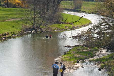
Southwest Ohio’s Buck Creek had a series of four low-head in the city of Springfield which were historically used to divert water to mills, local industry and utilities. These were removed to restore a the natural flow of sediments and fish in the creek and provide recreational opportunity while still maintaining the benefits provided by the dams.
Read MoreWetland and Urban Stream Monitoring
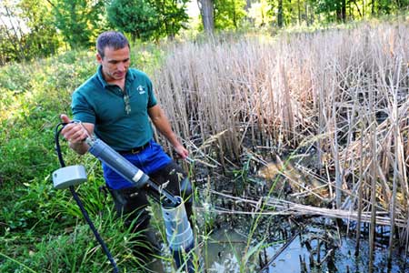
Heavy urban development has caused excess stormwater runoff in the Cleveland area. Resulting flash floods in the city’s metroparks can damage aquatic habitat, erode riverbanks, and carry sediment into Lake Erie. In response, Cleveland Metroparks staff have deployed a monitoring network to study flow and spread of pollution through park streams and wetlands.
Read MoreSediment Re-suspension Monitoring
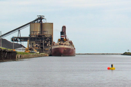
From the 1940s to the late ‘70s, the area surrounding the mouth of the Ashtabula River experienced significant industrial development that left behind contaminants in the river sediments. Dredging was performed to remove the sediments, and a monitoring system was put in place to ensure that the amount of re-suspension did not exceed specified ranges.
Read More


