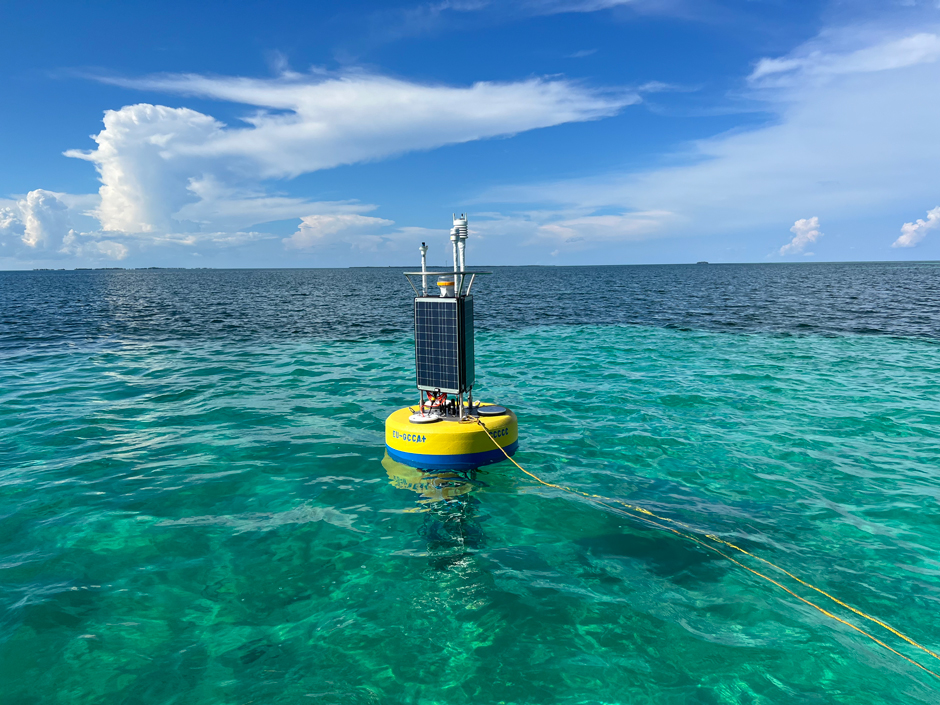
When the Francis Scott Key Bridge collapsed on March 26, 2024, NOAA was one of the first groups contacted as the city of Baltimore sought to minimize impacts to transport on the Patapsco River. As salvage efforts progressed in early April, real-time tidal currents data became necessary to help ensure safe navigation through the collapse […]
Articles Tagged: data buoy
Real-Time Shark Tracking in Cape Cod
Keeping beachgoers safe in populated water starts with staying informed about waterfront conditions, ranging from water quality issues like the presence of E. coli, wave and current conditions, to the presence of wildlife. In Cape Cod, the Massachusetts Division of Marine Fisheries tracks great white sharks in part to ensure beachgoer safety, inform conservation efforts, […]
Combining Real-Time Monitoring with Discrete Sampling in Maine
Lakes Environmental Association
In recent years, freshwater lakes in Maine have become threatened by the changing climate, changes in water quality, increases in harmful algal bloom frequency and severity, and the spread of invasive flora and fauna. In order to protect lake resources, various interest groups have stepped forward to provide data that inform environmental policy and lead […]
Sustainable Lake Management in Switzerland
Lake Lugano (Ceresio) and Lake Maggiore (Verbano) comprise a significant portion of territory in Ticino, located in southern Switzerland. They are crucial to the region’s biodiversity, society, and economy. In addition to being important for ecological and tourism purposes, the lakes provide drinking water for a significant portion of the population. Recognizing the lack of […]
Water Quality and Sediment Monitoring in the Huntington District
U.S. Army Corps of Engineers’ Huntington District
The U.S. Army Corps of Engineers’ Huntington District (LRH) oversees various water quality and sediment monitoring programs across Kentucky, Ohio, Virginia, and West Virginia. The LRH covers approximately 45,000 square miles of drainage area, with nine river basins flowing into a 311-mile stretch of the Ohio River. The LRH monitors 35 flood control projects in […]
Monitoring Microcystin Dynamics in Ohio Lakes
Stone Lab


