
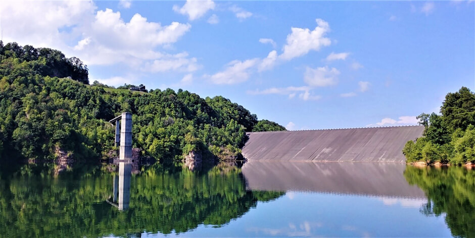
 The U.S. Army Corps of Engineers’ Huntington District (LRH) oversees various water quality and sediment monitoring programs across Kentucky, Ohio, Virginia, and West Virginia. The LRH covers approximately 45,000 square miles of drainage area, with nine river basins flowing into a 311-mile stretch of the Ohio River. The LRH monitors 35 flood control projects in this area—31 lake projects and 4 dry dams.
Challenges: Continuous Water Quality Monitoring in Various Applications
With the large region to monitor and multiple ongoing projects, the LRH has the challenge of managing a large amount of water. For the last nine years, Thaddaeus Tuggle has been one of many water quality team members tasked with maintaining the LRH’s monitoring equipment and overseeing the various projects LRH manages.
The flood projects LRH runs all share four common goals that protect the ecosystem and surrounding populations:
 Assess compliance with State and Federal water quality standards by monitoring current water quality conditions impacted by a project’s operation;
- Provide support to water control, project operations, and navigation for regulation and modifications;
- Monitor water quality conditions, establish baseline conditions, assess current water quality status, and identify any significant water quality trends;
- Evaluate the effectiveness of the Congressionally approved Water Control Plan.
In addition to their flood-specific projects, the LRH is also tasked with monitoring dredging activities in the Ohio, Kanawha, and Big Sandy Rivers as the USACE is mandated to maintain a channel depth of at least 9’ for navigation purposes.
While channel maintenance is necessary, dredging can lead to various water quality issues. Under the National Environmental Policy Act of 1970, the Corps started an environmental monitoring program to evaluate the impacts associated with channel maintenance. More specifically, sediment contaminants and plumes must be monitored prior to, during, and after dredging activities.
Monitoring water quality before, during, and after dredging activities helps ensure acceptable conditions for native aquatic life. More sensitive species like freshwater mussels are essential to ecosystems and, as filter feeders, are particularly threatened by poor water quality.
 Solution: Real-Time Sediment Monitoring Systems
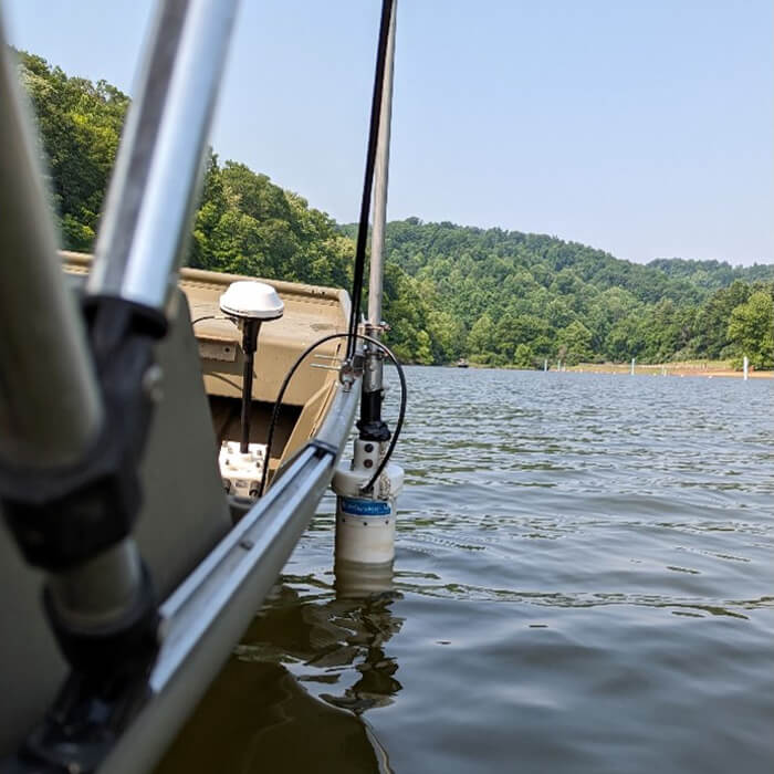
In order to protect these vulnerable species, the LRH utilizes real-time monitoring that allows them to monitor conditions in the rivers. In the lakes, the USACE utilizes NexSens buoys equipped with X3 data loggers and YSI EXO Sonde that typically monitors DO and temperature, but has the capability to monitor specific conductance, pH, turbidity, and occasionally chlorophyll and nitrate as well.
At dredge sites, the same parameters are monitored with a buoy equipped with an older legacy X2 data logger and integrated with a SeaTek 5 MHz Ultrasonic Ranging System, which measures the sediment deposition that could occur on the substrate of the river.
Alongside the buoys, an EcoMapper side scan sonar is used to monitor sediment deposition in the lakes. Additionally, the Sontek M9 and rQPOD are used to collect discharge data along with sediment deposition.

 Benefits: Comprehensive Sediment Monitoring
The integrated buoy-based solution is referred to as the Water Intrinsic Zoological Ambient Research Device or, more simply, WIZARD. The platform sits at the bottom of the Ohio River and monitors sediment deposition in real-time, providing data before, during, and after dredging activities.
The SeaTek instrument integrated into the river buoys has 8 transducers that measure the river bed, allowing project managers to see if sediment is being deposited on the substrate in real-time.
“This buoy is important, because below the R.C. Byrd Locks & Dams there are endangered mussel species that could potentially become entrapped in sediment and the young of year mussels wouldn’t be able to travel through the sediment, essentially knocking out a whole year class of endangered mussels. Having the real-time monitoring capabilities allows us to watch for this sediment deposition during Ohio River dredging activities,” explains Tuggle.
For the USACE lake projects, the EcoMapper, Sontek M9, and rQPOD all provide additional sediment data and contribute to a comprehensive view of the lake bed and conditions.
The Bottom Line
With multiple water bodies and projects requiring monitoring, a combination of equipment and techniques provide long-term data over targeted periods, protecting native aquatic species and informing management strategies.
Equipment
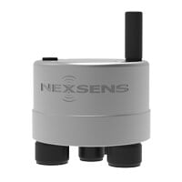
The NexSens X2 Environmental Data Logger offers the latest in real-time monitoring technology with wireless communication, large plug-and-play sensor library, and ultra-low power consumption.
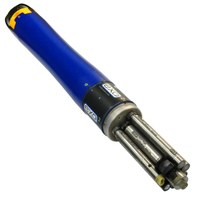
The YSI EXO represents the next generation of water quality instruments from YSI. The EXO2 sonde includes six sensor ports and a central anti-fouling wiper option.
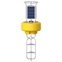
The NexSens CB-650 Data Buoy is designed for deployment in lakes, rivers, coastal waters, harbors, estuaries and other freshwater or marine environments.